Sneak a look...
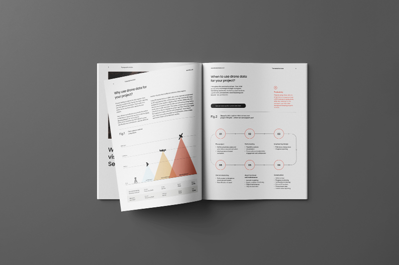
- Better decision making with accurate 2D and 3D survey data.
- How to capture and visualise topographical survey data in hours instead of weeks.
- How you can visualise all your data in one place with the world's fastest 3D browser.
- Ways to use drone data to save time and money across your project lifecycle.
- Best practices for accessing hard to reach areas safely and easily.

Trusted by the UK’s leading construction and infrastructure firms


